
Mesh Blocks have long been an essential part of Australia’s geospatial and property data infrastructure. As the most granular geographic units defined by the Australian Bureau of Statistics (ABS), they serve as a foundational layer in many proptech and real estate applications.

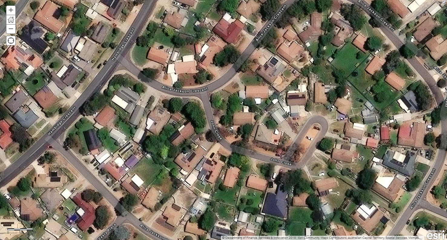
Mesh Blocks covering the whole of Australia. Source: ABS Maps
What Role do Mesh Blocks Play in Proptech?
Mesh Blocks play a vital role in Proptech, geospatial data, and the real estate industry in Australia.
Some example uses include:
Granular geographical data
Since Mesh Blocks are the smallest geographical units, providing a granular level of detail in geographic data, its precision is valuable for analysing real estate trends at a hyper-local level.
Accurate small area statistics
Mesh Blocks are designed to fulfill the need for accurate small area statistics. In Proptech, having precise data at this level is instrumental for understanding localised property markets, demographics, and trends.
Spatial mapping and analysis
Geospatial data, including Mesh Blocks, facilitates spatial mapping and analysis. Proptech platforms can leverage this data to visualise and analyse property-related information, helping users make more informed decisions based on geographical insights.
Enhanced property valuation
Proptech applications can utilise Mesh Blocks to refine property valuation models. The data on dwellings and residents at this level allows for a more nuanced understanding of property values, considering localised factors.
Land use identification
Mesh blocks broadly identify land use, such as residential, commercial, industrial, parkland, and so forth. Land use information is valuable for proptechs involved in property development, urban planning, and investment strategies.
Targeted marketing and outreach
Proptech businesses can use Mesh Block data to tailor marketing and outreach strategies to specific geographical areas. Understanding the demographics and dwelling counts at this level allows for targeted and effective location-based campaigns.
Census-driven insights
The inclusion of Census data within Mesh Blocks, such as the count of usual residents and dwelling types, provides proptech platforms with up-to-date demographic information. This can aid market analysis, customer profiling, and investment strategies.
Integration with digital boundary files
The availability of Mesh Block boundaries in digital boundary files enhances their usability in Proptech applications. These files can be readily integrated into geospatial systems, making it easier for developers and analysts to work with this geographical data.
The Foundational Building Blocks in Real Estate
Mesh Blocks are foundational building blocks for geospatial and proptech applications, providing granularity and accuracy for understanding local real estate markets, demographics and land use.
To aid proptechs, we offer the Geography – Boundaries & Insights dataset which includes all Mesh Blocks and their spatial areas for analysis and location-based visualisation of statistics.
The integration of this important information can enhance the precision and relevance of analyses within the proptech and real estate sectors. Read our following article to learn how to incorporate Mesh Blocks into datasets.
How to Incorporate Mesh Blocks into Datasets
Incorporating mesh blocks into datasets involves several steps to ensure seamless integration and effective utilisation of geographical information. Here’s a guide on how to incorporate mesh blocks into datasets.
More Intel from Data Army

Unlocking Affordable Housing in Australia: The Data Revolution


Intel In Your Inbox
Sign up to our newsletter and receive our latest knowledge articles, practical guides and datasets.