
Understanding where to invest, build or expand has always been a core challenge. Increasingly, the question is no longer about access to data. It’s about how effectively that data can be combined to generate meaningful insight.
Organisations are working with growing volumes of spatial, infrastructure and demographic data. Yet these datasets are often fragmented, inconsistent and difficult to integrate.
Location intelligence emerges when these datasets are brought together in a structured, layered way, transforming raw data into a clearer understanding of how places function and evolve.
The Challenge: Data Without Context
Most datasets, in isolation, only tell part of the story.
- Geographic boundaries define where things are
- Transport data shows how places are connected
- Cadastre data reveals how land is structured
- Population and migration data explain who is moving and where demand is shifting
Individually, each is useful. But without alignment, they create more complexity than clarity.
This is why many data teams spend a significant portion of their time (up to 45%*) preparing and reconciling datasets, rather than analysing them.
A Layered Approach to Location Intelligence
A more effective approach is to treat data as interconnected layers, each adding a different dimension of insight.
1. Geography: Defining Place
Geographic boundaries provide the foundation for analysis. This layer defines how data can be aggregated and compared.
It answers:
- Where are we analysing?
- How do we segment regions?
2. Transport: Measuring Accessibility
Transport infrastructure introduces the concept of accessibility: how easily people can move through space.
By mapping infrastructure such as rail networks and station locations, and defining catchment areas around them, analysts can begin to quantify access.
It answers:
- Which areas are well connected?
- How does accessibility vary across regions?
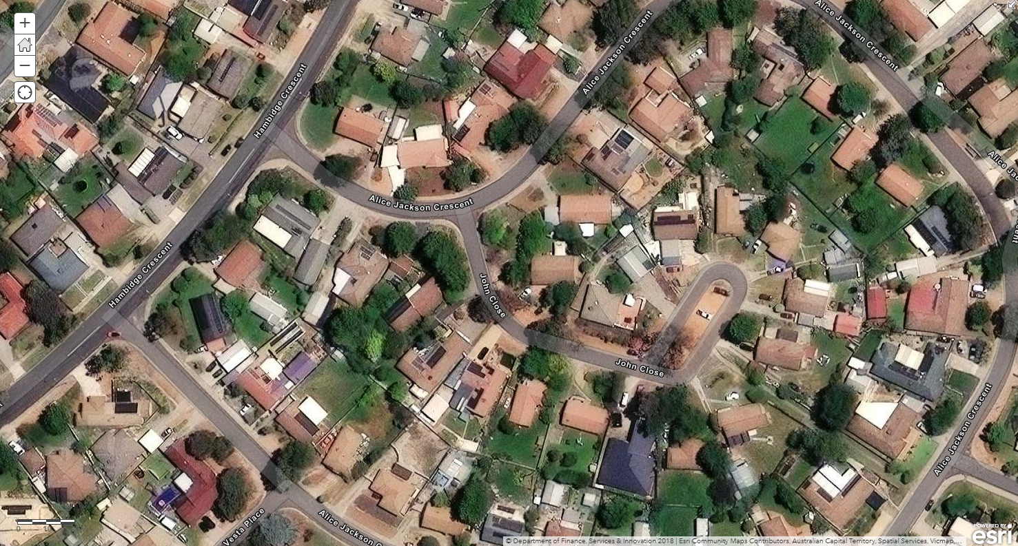
3. Cadastre: Understanding Land Structure
Cadastre data provides a detailed view of land parcels and property boundaries. This layer adds granularity, enabling analysis at the level where decisions are often made.
It answers:
- How is land divided and used?
- What is the structure of individual parcels?
4. Population and Migration: Explaining Demand
Demographic data introduces the demand side of the equation. Population distribution and migration trends help explain how places are changing over time.
It answers:
- Where are people concentrated?
- How is demand shifting across regions?
From Layers to Insight
When these layers are combined, a more complete picture begins to emerge.
For example, by overlaying transport infrastructure with population data, it becomes possible to analyse how accessibility influences population distribution. Adding cadastre data introduces further detail, allowing this analysis to be applied at a parcel or site level.
This layered approach enables analysts to:
-
Identify areas where accessibility and population density intersect
-
Detect emerging growth zones aligned with infrastructure
-
Compare regions using consistent, multi-dimensional metrics
Rather than working with disconnected datasets, analysts can move towards a more integrated view of place.

A Consistent Approach Across Regions
One of the key challenges in multi-region analysis is inconsistency. Differences in data structure, definitions and formats often make comparisons difficult.
By applying a consistent data model across regions such as Australia, New Zealand and Singapore, it becomes possible to perform comparable analysis across markets.
This enables:
-
Cross-country benchmarking
-
More scalable analytics frameworks
-
A unified approach to location intelligence
Accelerating Time to Insight
The value of a layered approach is it is operational, as much as it is analytical.
When datasets are already aligned and structured, analysts can focus on generating insights rather than preparing data. This reduces time to insight and enables faster, more confident decision-making.
Using Data Layers to Unlock Real-World Insight
Location intelligence is not driven by a single dataset, but by the ability to combine multiple layers of information into a coherent view.
As organisations continue to expand across regions and markets, the ability to integrate geography, infrastructure, land and population data will become increasingly important.
By taking a layered approach, businesses can move beyond fragmented data and towards a deeper understanding of how places function, evolve and create opportunity.
*Nearly half (45%) of a data scientist’s time is spent preparing data for analysis and modelling (Anaconda, State of Data Science 2020).
Data Army Intel data
Data Army Intel brings together these layers into analysis-ready datasets, enabling organisations to generate location intelligence across Australia, New Zealand and Singapore directly within Snowflake Marketplace.
Australia
New Zealand
Singapore
OECD Countries
More Intel from Data Army


Intel In Your Inbox
Sign up to our newsletter and receive our latest knowledge articles, practical guides and datasets.